Baja—apparently not just sunshine and sandy beaches
After a week relaxing on the beach south of Rosarito, recovering from zipping all over the USA like mad people, it was time to get moving again.
We just didn’t move very far.
A short roll down the coast to La Bufadora, just south of Ensenada had us arriving at what must have been the best deal for a campsite, $5 USD per night for hot showers, internet, flush toilets, a view of the setting sun and a rather friendly dog who made herself at home in our camp site. Probably because our dinner smelt delicious—but we prefer to believe that it was our charming company that encouraged her.

Scarlett, such a sweetie. It was very hard not to sneak her into the car when we left.
The area is called La Bufadora because of a sort of blow hole that spurts water skyward with the incoming waves.
It was ok. Probably not worth all the fanfare and the 500 metre gauntlet through retailers peddling booze, lollies, bread, clams, tacos, pharmaceuticals, hats, toys, clothes and photo opportunities with captive puma and lion cubs (not cool). Although the stalls and pushy sales people were perhaps more memorable than the blowhole.
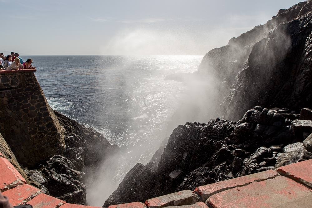
It’s alright—I guess it is more spectacular when the water is more turbulent…
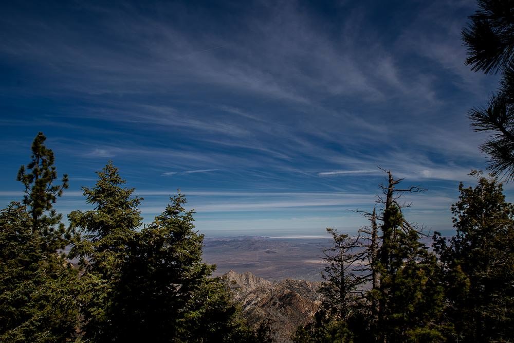
Regardless of how spectacular the blowhole was or wasn’t, there was no denying that it was a beautiful stretch of coastline.

View down the coast from La Bufadora
It had been on our first night camping in this area, when the wind and cool evening air had just chased us upstairs into the relative shelter of the tent that we heard a car roll up right next to us. We then heard a ‘hallooo’ from a voice we hadn’t heard for three months. It was Peter and Dace from izaicinajums.com who we had last seen in Vancouver as they prepared to depart on their Pan-American journey.
After a few nights at La Bufadora, we hit the road south with them, with plans to visit Parque Nacional San Pedro Martir. As it would happen, contrary to the rumours—Baja isn’t all sandy beaches and sunshine. They also have mountains.
First stop, however, was one more night on the coast in an abandoned campground.

Looks pretty. No wi-fi or hot showers though. Can’t have everything when you are paying $0 to camp!

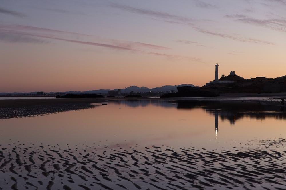
Did we mention the view from the camp spot? Another stunning Baja sunset!
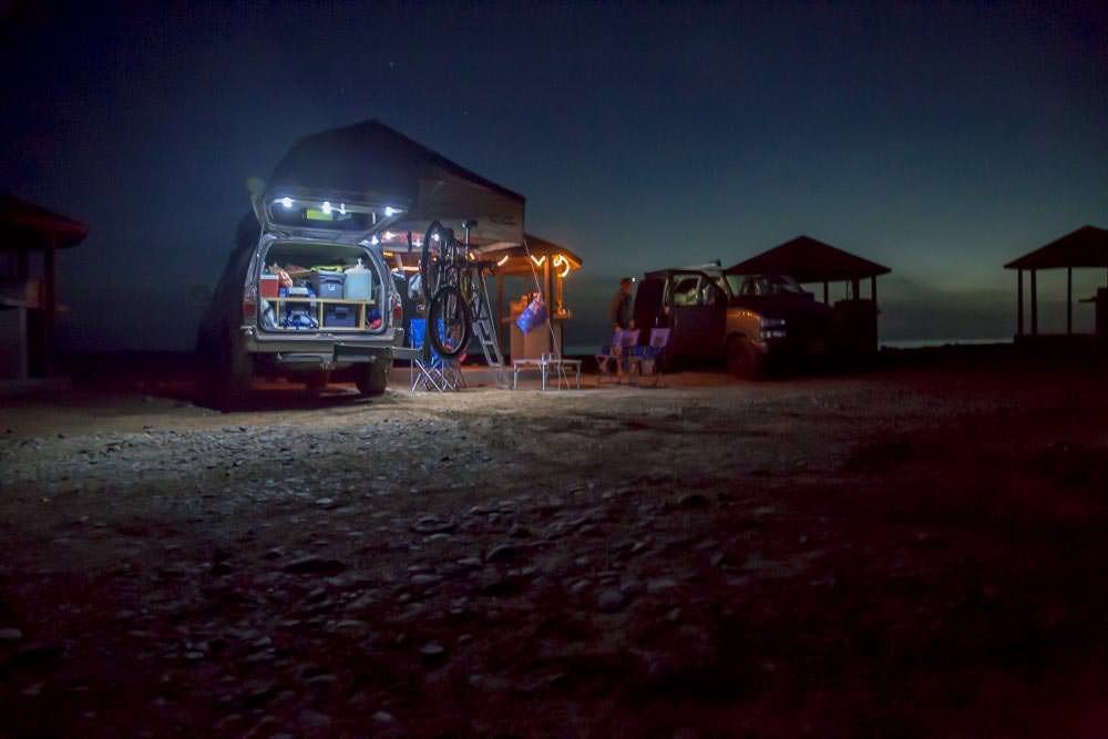
Camping on the beach with Dace and Peter
Once we headed inland to the National Park, we found that camping at over 2000m, it got a little chilly at night. Huddled in our winter woolies, this was not the warm sandy beaches we were expecting from Baja at all.
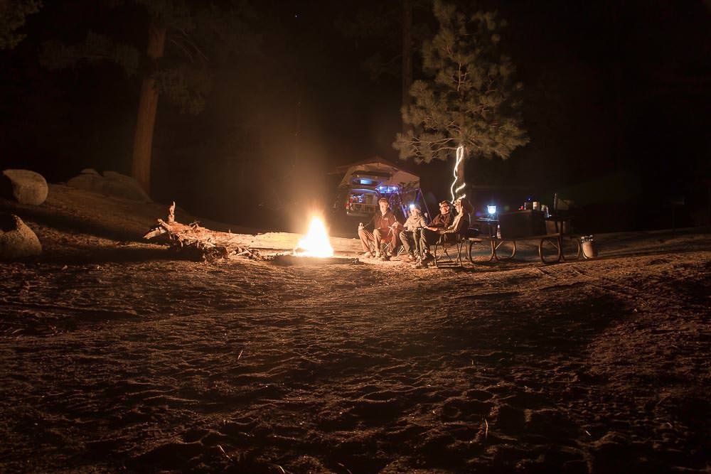
Ben, Emma, Peter and Dace keeping warm around a roaring campfire on a cold night in Parque Nacional San Pedro Martir.

Sunny, yes—a beach—no, not warm either, but still pretty scenic. A picnic stop en route from the observatory to our camp site.
The view however, was even better than on the coast. When we drove up the highest road in the park to Mexico’s National Astronomical Observatory, we could see as far as the sea of Cortez.
View from the telescope at Parque Nacional San Pedro Martir

Picacho del Diablo, the highest point in the park at 3096m (10,057′)
As we were heading up the road, a man in a ute waved for us to follow him. Despite our completely sub-standard Spanish, he managed to point out a few of the geographical features in the area while we wandered around the massive telescope dome.
He was even kind enough to let us inside for a peek at the telescope contained within the impressive dome. We didn’t get to play around with the equipment, but it was pretty neat to get a close-up look at the sizeable telescope.

Inside the dome—the telescope at the Mexican National Astronomical Observatory

Looking up at the top of the dome from inside

The glimpse we had of the Sea of Cortez from the top confirmed that our plan to drive from the National Park to San Felipe on the shores of the Sea of Cortez was a good one. Driving all the way back the way we came to get to the main road, just to get across the peninsula seemed like a silly plan though. We had no maps and as far as Javier, our GPS was concerned there were no navigable roads in the area.
Luckily Peter and Dace not only had maps, but a more well-informed GPS. It still took a bit of guesswork and an accidental detour down a motorbike track, but we managed to find a ‘short cut’.

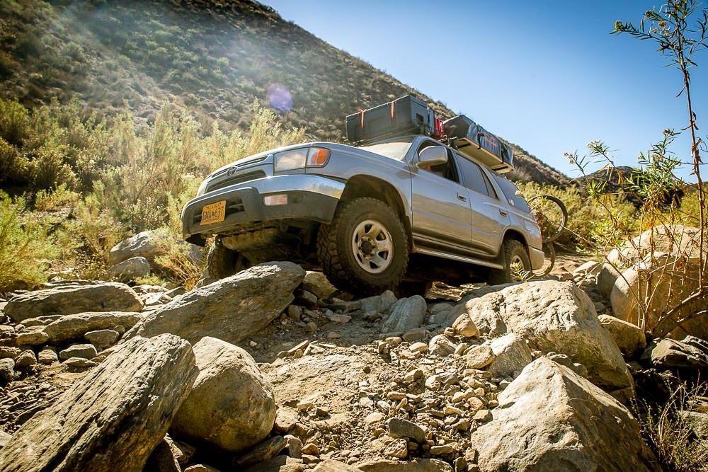
By short cut, I mean that we didn’t drive as far, but it still took hours to navigate the rocky, uneven roads, many of which were marked as sections of the Baja 500 route. I suspect the modified vehicles that were actually participating in the race managed a slightly faster pace than we did in our houses. The pots and pans rattled, the dust flew and the hours ticked by as we wound our way through uneven mountain roads.


After several dusty hours, we emerged back on the main road. Sure, it had taken just as long to take the ‘short cut’ but it had been a lot more fun. Now it was time to head back to the beaches of Baja that we had been expecting. Next stop—San Felipe!
Pat
Pingback: Rocks, history and how not to navigate a colonial town | Flightless Kiwis